Surveyingequipmentfor the field.
Equipment engineered to solve specific field problems.

Handheld SLAM for precision surveying and real-time 3D visualization.

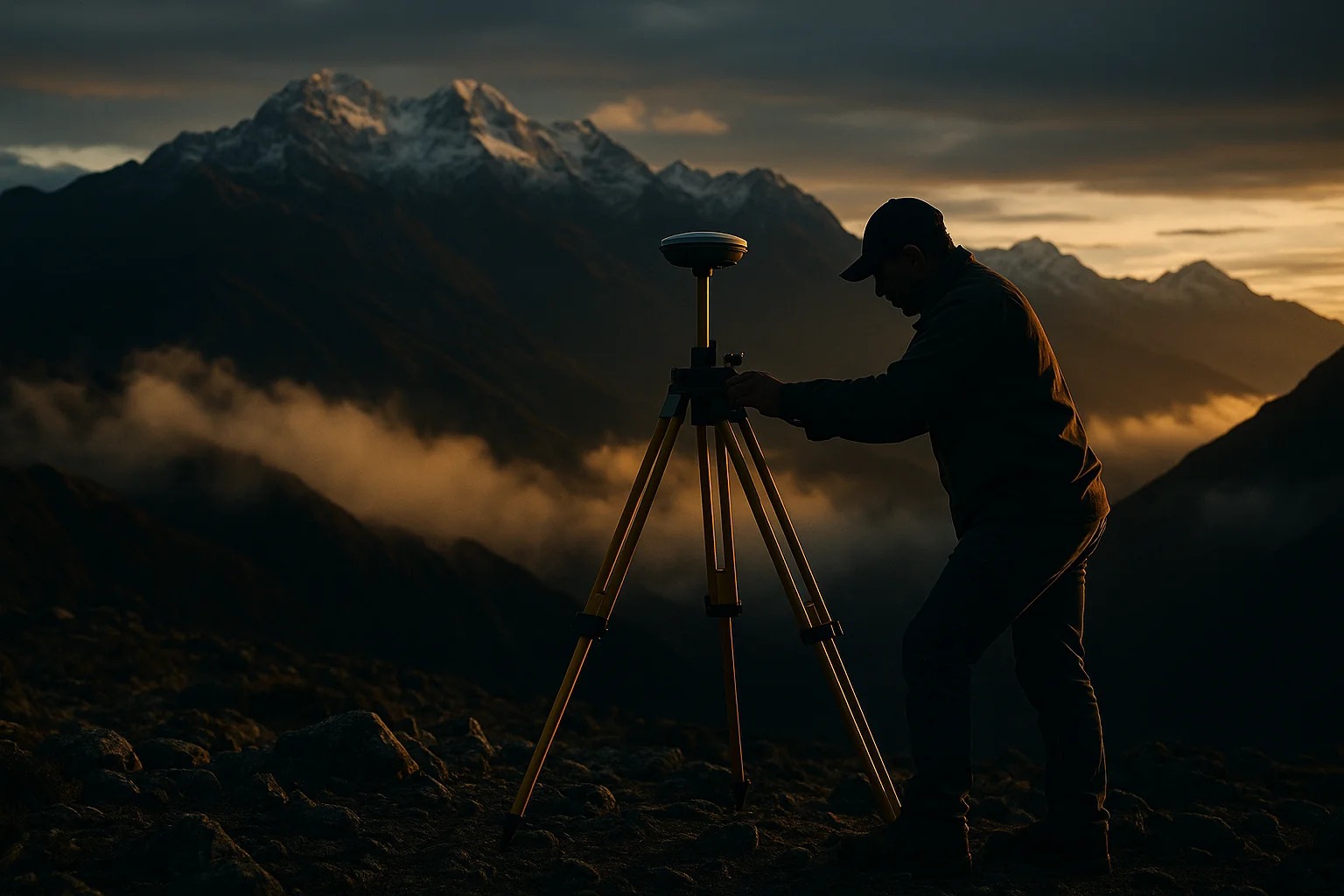
Compact, lightweight full-constellation GNSS receiver with IMU.

Compact, lightweight, full-constellation GNSS with IMU and 2 MP camera.

Dual cameras, laser distance meter and AR stakeout in a complete GNSS receiver.

Compact controller with backlit keyboard, integrated camera and touch pen.

Compact 6.0″ Android field tablet for demanding fieldwork.

Rugged Android handheld with full QWERTY keyboard for professional field work.

Reliable, sturdy, compact 2″ mechanical total station — 600 m reflectorless.

High-precision, fully automated robotic total station — Android 11, 800 m reflectorless.

Fast and intuitive Android field software for mid-range surveying.
Get a tailored quote in 24 hours
Tell us about your project. Our specialists reply within one business day.